|
|
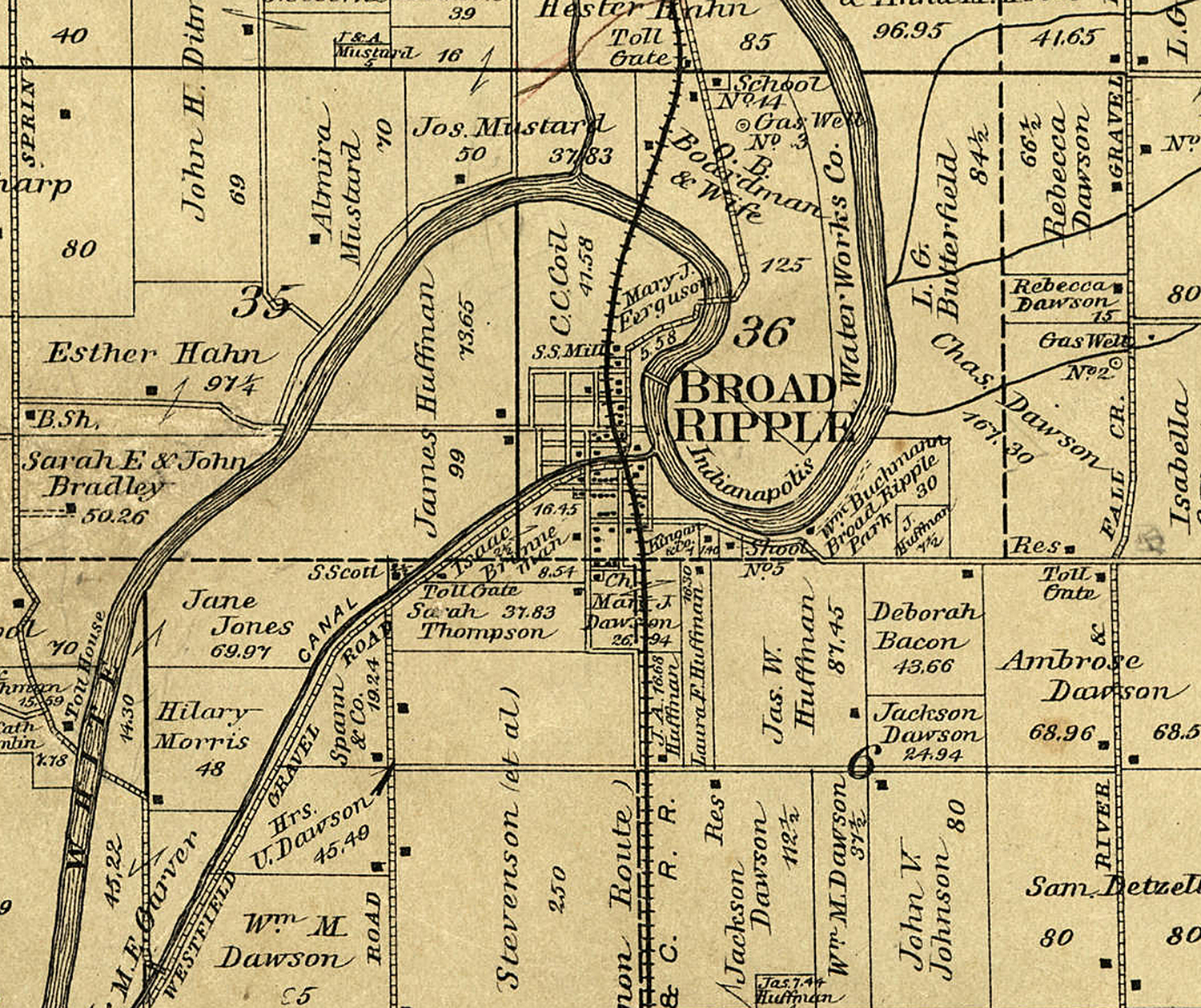
Broad Ripple History


Pictures, Stories, Maps, and more
Brought to you by Broad Ripple Publishing
|


|
|
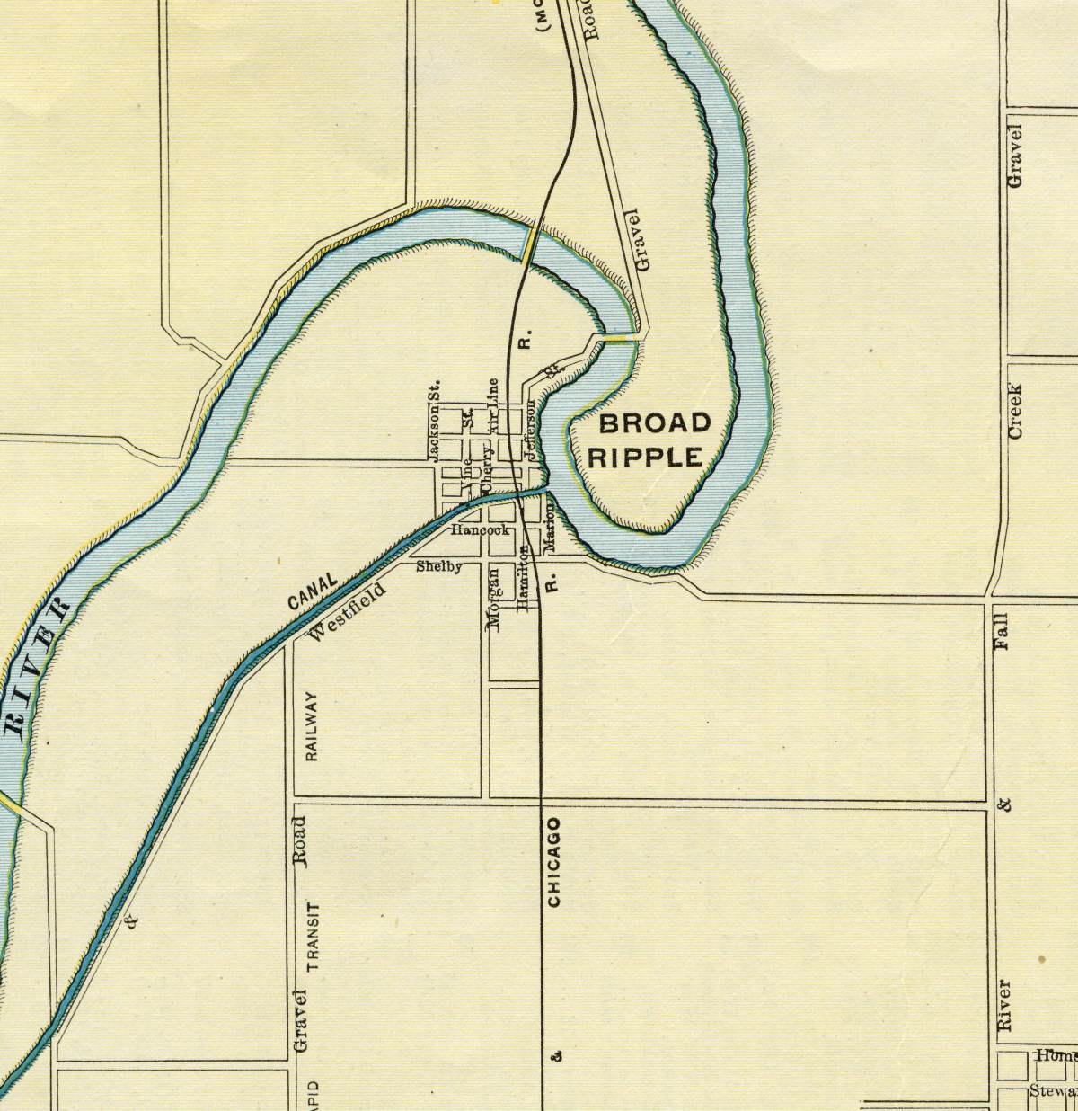
Broad Ripple History
Pictures, Stories, Maps, and more
Brought to you by Broad Ripple Publishing
|